
Rapid Laser Texture Scanner 9500
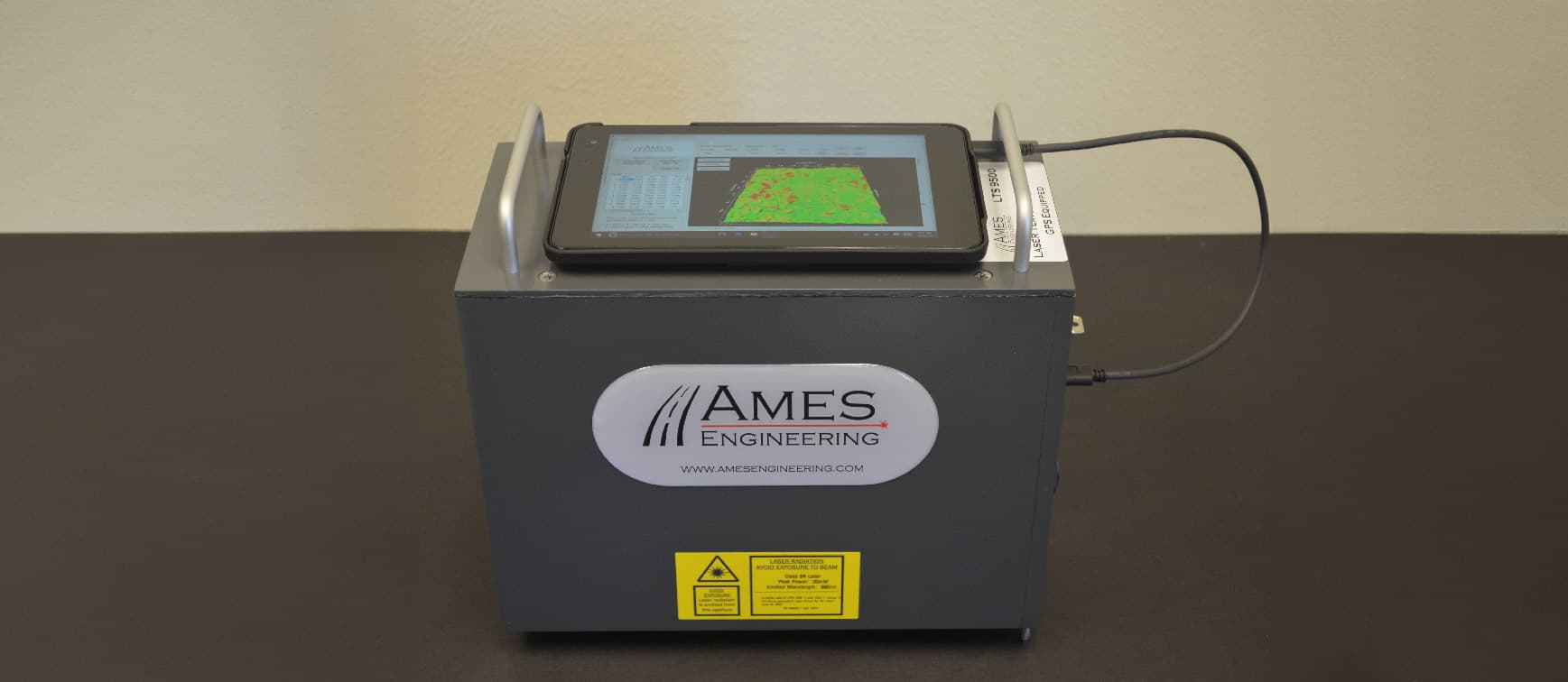
The portable Model 9500 Laser Texture Scanner is a rapid macrotexture scanner that replaces the Sand Patch Test (ETD) and Circular Texture Meter (MPD). The scanner requires a host computer to operate (not included) and completes a full scan of a 4″ × 4″ area in approximately 90 seconds, providing fast results on the host computer.
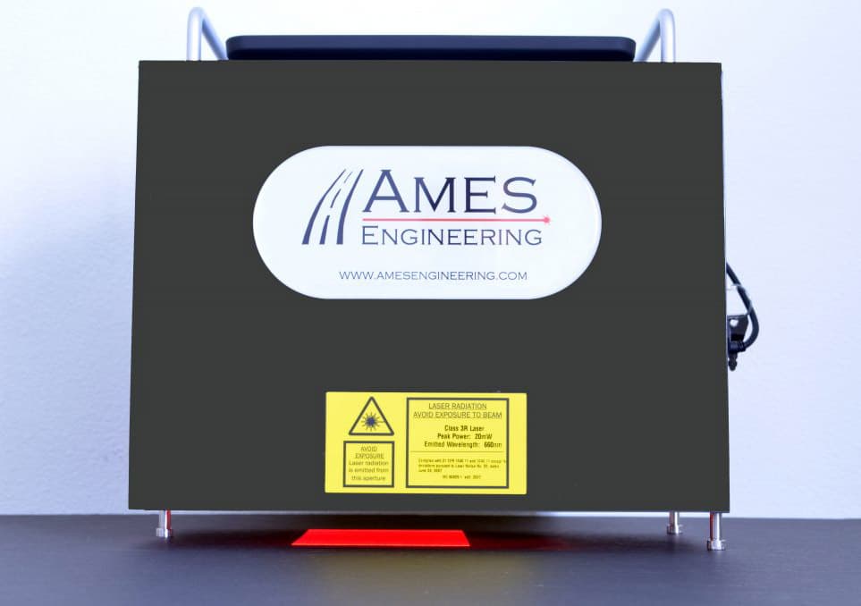
9500 In Operation
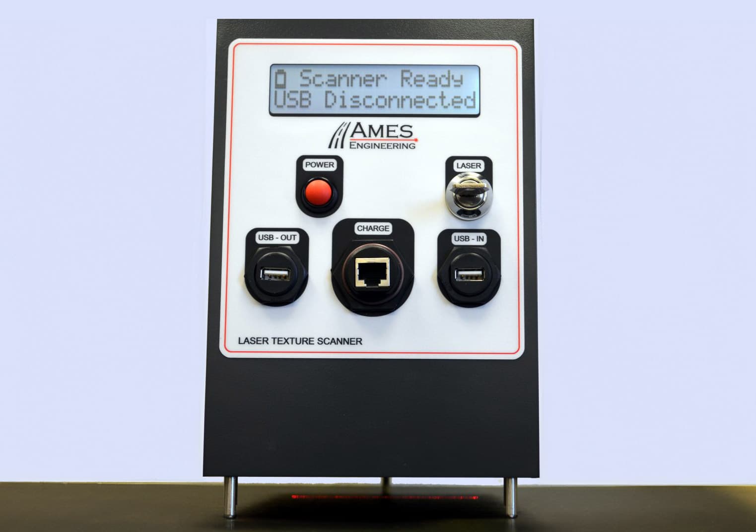
9500 Front View
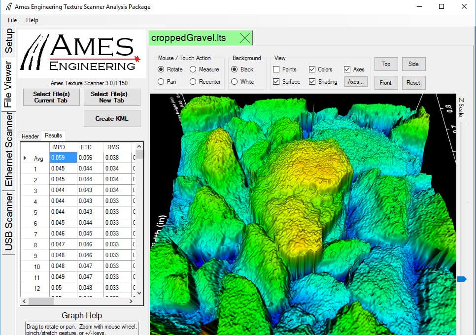
3D Analysis
| Features | AMES 9400HD | AMES 9500 |
|---|---|---|
| Calculates Mean Profile Depth (MPD), Estimated Texture Depth (ETD), RMS, Ra, Rq, Skewness, Kurtosis & VAR | Software Needed | |
| Index Units Can Be Set to Metric or Imperial | Software Needed | |
| Built In GPS Receiver | ||
| Backlit LCD for Easy Night-time Viewing | ||
| Includes Sun Shroud with a Cutout Window and Measurement Rulers | ||
| Scan Area | 104.00 mm x 72.00 mm | 4” x 4” |
| Collects Both Elevation Height Data and Scan Intensity Image | ||
| Scanner Immediately Displays the Results On a Sunlight Readable LCD Built-in Display (1997 ISO Version) | Analysis Software | |
| Texture Scans | Macro1 & Micro2 Texture | Macro texture |
| Sampling Distance | Programmable (5 Presets) | Fixed |
| Laser Type | 1 Single Point Laser | 4 Inch Line Laser |
| Requires Low Pass Filter | ||
| Microsoft Windows Tablet Included | ||
| External USB Port Available | ||
| A Windows Based Computer Can Be Used to Directly Control the Scanner | * | |
| File Storage | All Files Are Stored On the Scanner for Later Download | All Files Are Stored On the Microsoft Windows Tablet |
* Can be controlled from a computer, but is easier to operate directly on the scanner.
1 Macro texture: .5 mm and above
2 Micro texture: .5mm and below
Common Applications
- Sand Patch Test Alternative- Bridge Decks- Paving Stones- Aircraft Carrier Decks- Fault Measurement- Built in GPS Receiver- Polished Concrete Surfaces- Racetracks & Tire WearCalculations Overview
- - Mean Profile Depth (MPD)
- - Estimated Texture Depth (ETD)
- - Power Spectral Density (PSD)
- - Root Mean Square (RMS)
- - Band Pass Selectable Elevation & Slope Variance
3D Analysis Suite
- - A comprehensive Windows based 3D analysis suite
- - In-depth viewing and analyzing of scan data
- - Point-to-point measurement, surface model, point model, and black & white
Features
- - Calculates Mean Profile (MPD), Estimated Texture Depth (ETD), RMS, Ra, Rq, Skewness, Kurtosis and VAR
- - Scan Area: 4″ x 4″
- - Laser type: 4″ Line Laser
- - Length Resolution: 4”/2048: 0.00195” = .0496 mm
- - Width Resolution: 4”/2448: 0.00163” = .0415 mm
- - Vertical Resolution: 0.01 mm
- - Scan Time for full scan: 90 seconds
- - Collects both elevation height data and scan intensity image
- - Data stored in binary .LTS file for downloading to PC for interpretation using Ames windows-based 3D viewing software
- - Exportable CSV files are available for import into other applications
- - Built in GPS Receiver
- - Index units: Metric or Imperial
- - Windows software application has the ability to crop the original scans into smaller areas of interest
- - Product Dimensions 305 mm x 151 mm x 290 mm(L x W x H)
- - Weight: 4.2kg
- - Data Storage: Reserved for calibration files only.
- - Backlit LCD for easy night-time viewing
- - Scanner comes with included rugged Windows 2-in-1 laptop for easy remote data collection
- - External USB port is available for USB memory sticks that can be used to easily transfer data to a desktop computer for further data analysis
- - A Windows desktop computer can also be used to directly control the scanner for use in a lab setting
- - Windows software application has the ability to crop the 4” x 4” scans into smaller areas of interest
- - Includes sun shroud to block out ambient light when performing scans outside
- - The sun shroud also has a cutout window with measurement rulers which are useful in locating the actual area that will be scanned